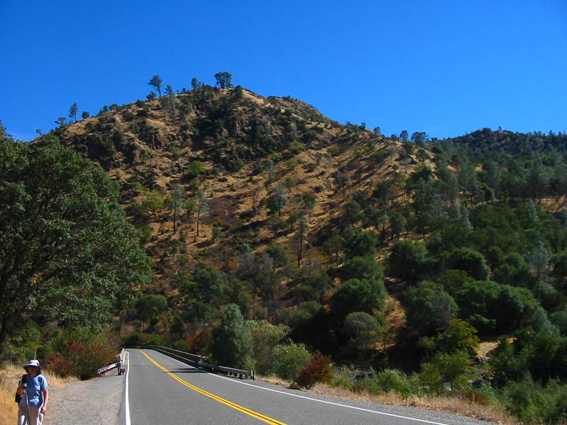
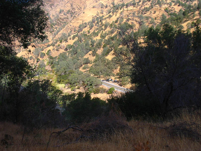
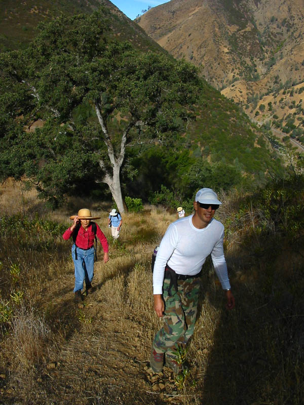
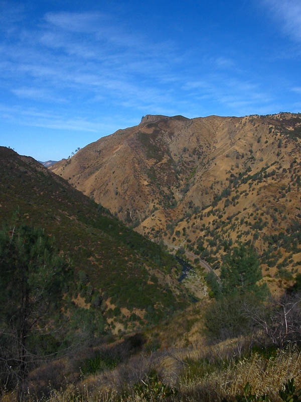
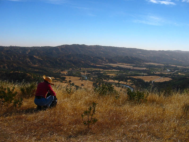
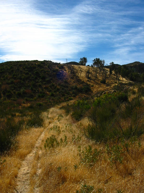
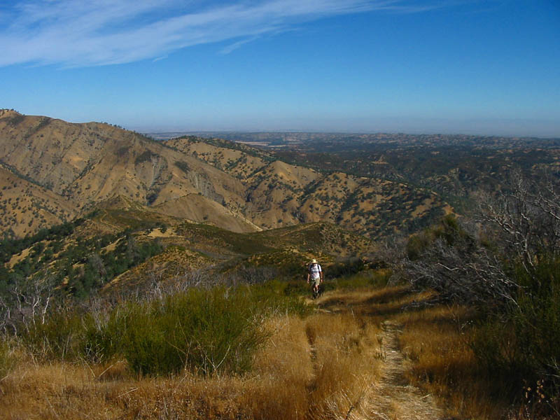
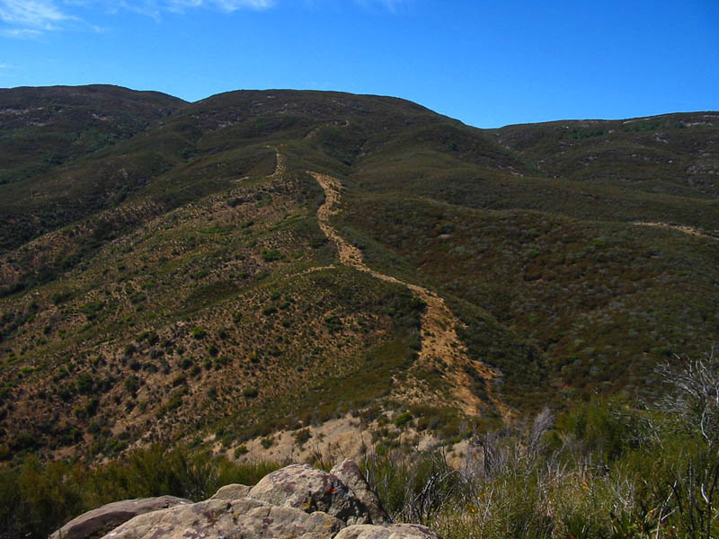
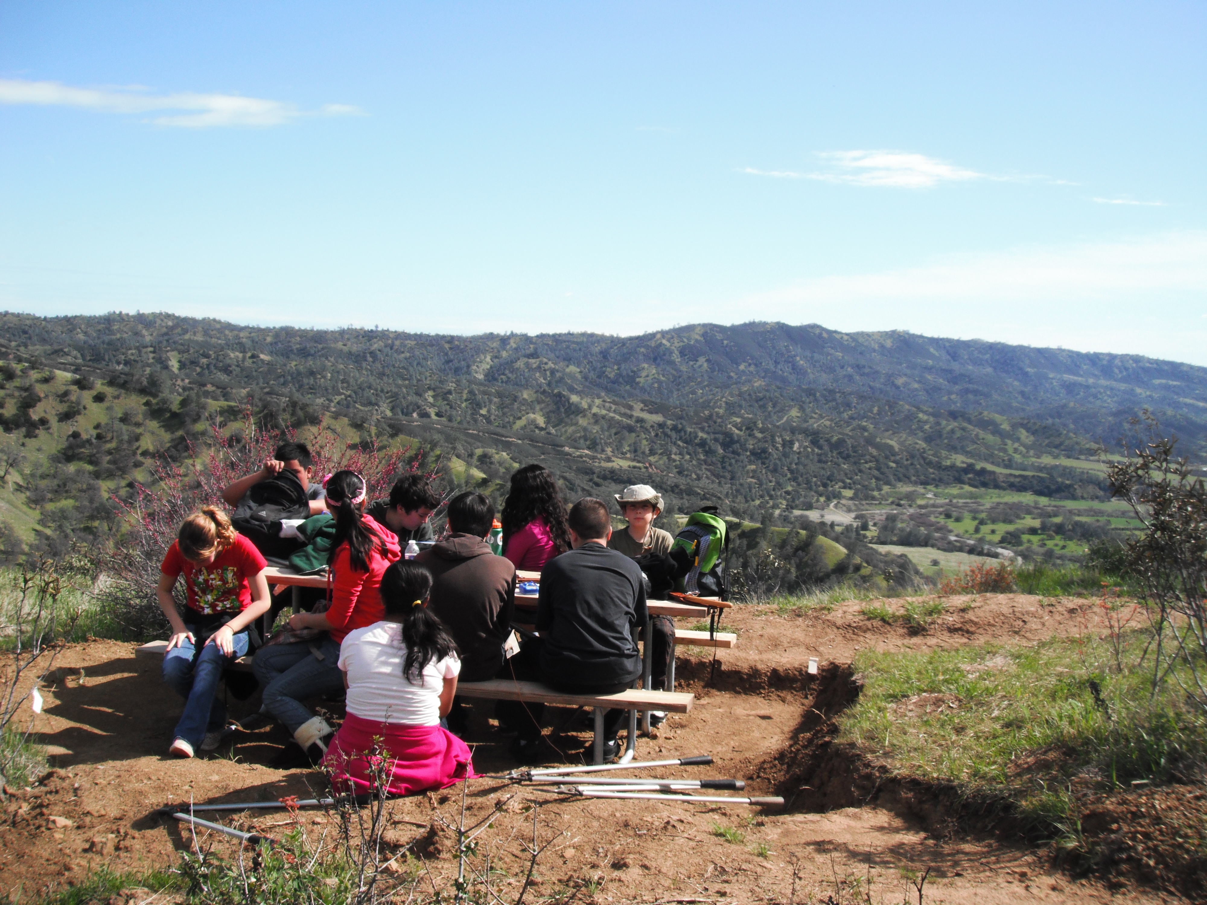
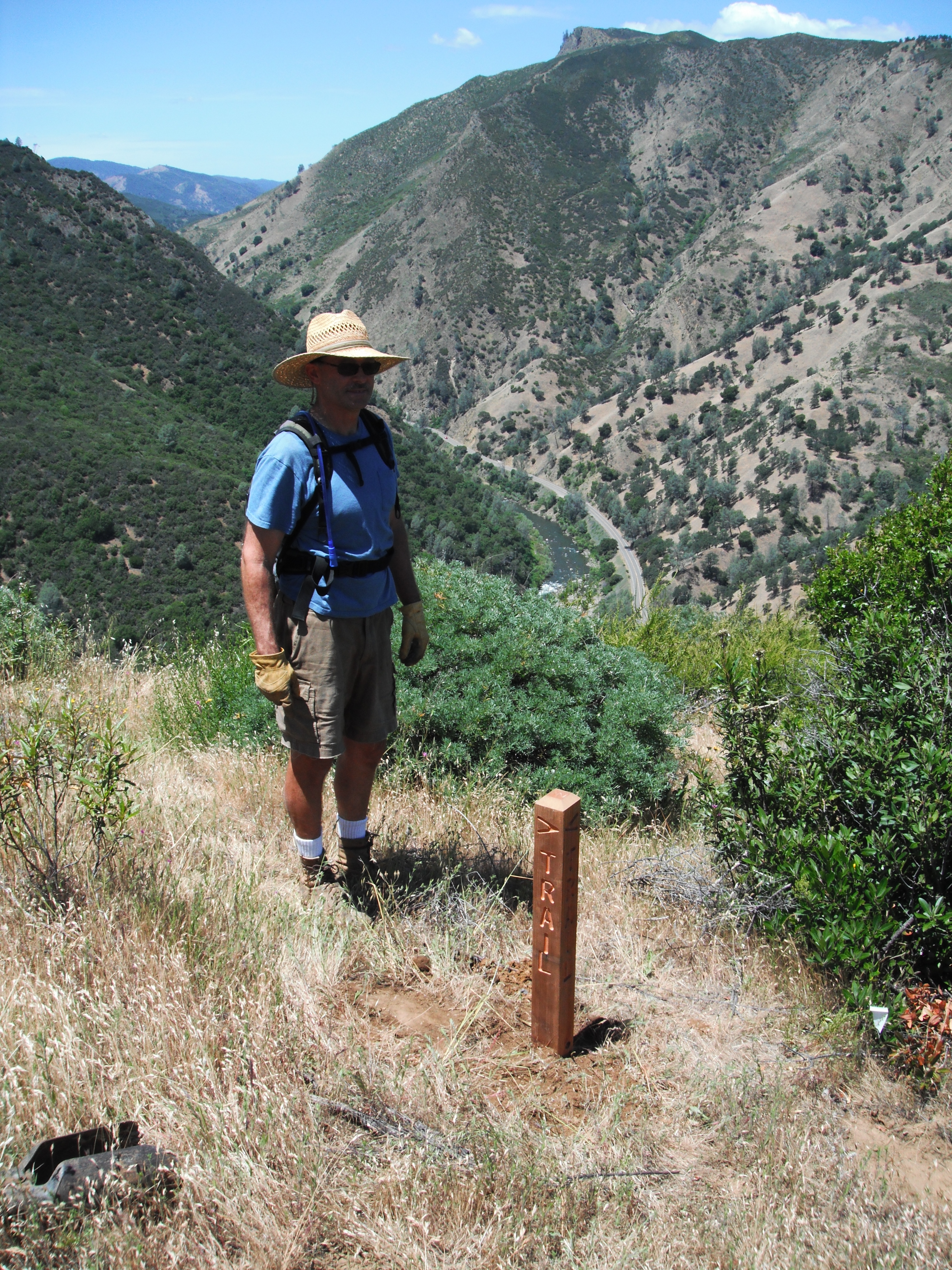
The Hike: Yolo County bought this 614-acre ranch around 2000 or so. It was a wonderful purchase, since it linked up Camp Haswell Park to Bureau of Land Management public land on Blue Ridge. In 2010, it was named Valley Vista Regional Park. Tuleyome volunteers built the first official trail, the Valley Vista Trail, starting from across the highway from Camp Haswell, and rising up to join the existing trail which leads from the base of the hill at the highway, up to a high point known as Rumsey Knob. Rumsey Knob is a scenic overlook of the Capay Valley and Rumsey Canyon. It's steep up to the spur ridge to the overlook, rising 1700 feet in 2 miles. A nice hike is up to the first knoll (about 1.3 miles each way) with a picnic table for eating lunch and enjoying the view. Portions of the trail can be steep, so bring good shoes and hiking poles. Distance: 4 mile round trip, if you go all the way to the overlook and back. Some continue on a fire break up toward Blue Ridge and Fiske Peak. A portion of this is bushwhacking up to the ridge, once the fire break ends.
|
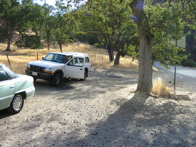
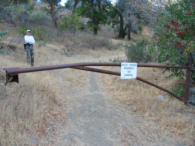
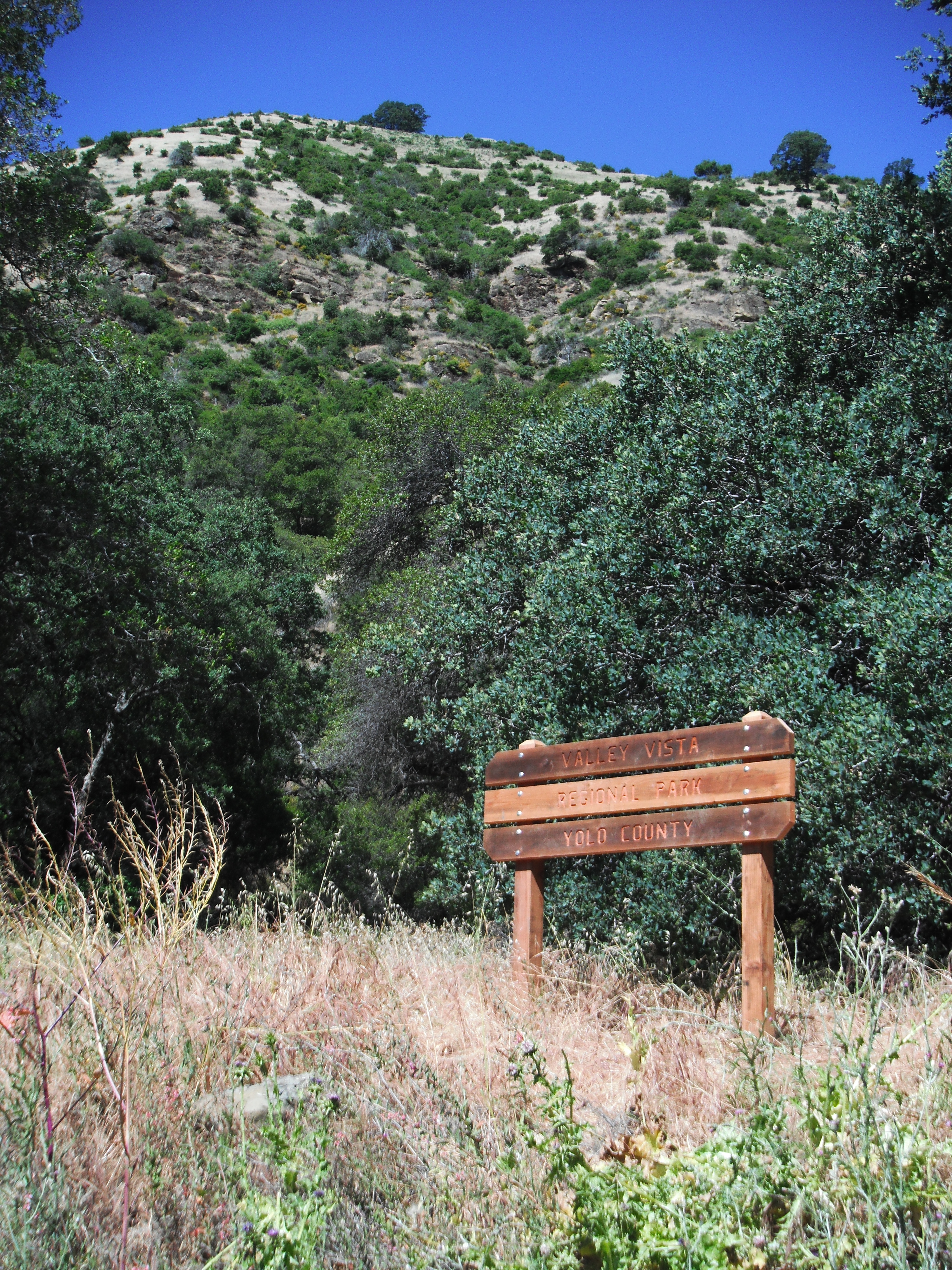
How to get there: From Yolo county, Woodland and Davis, take Highway 16 up the Capay Valley. Pass through Capay, Guinda, and Rumsey. Camp Haswell Park will be on your right, just after Rumsey. The first trail can be accessed across the highway from Camp Haswell. There is a sign for Valley Vista Regional park at the trailhead Park on the pullout on the side of the highway. The hike winds up the side of the hill, with easy switchbacks cut into the hillside. The second trail is past Camp Haswell, around the bend and past the bridge over Cache Creek. After crossing the Highway 16 bridge over Cache Creek, park on the side of the road immediately after the bridge, on the north side of the road. The hike starts at a gate on the south side of the road, immediately before the bridge, so you will have to walk back across the bridge to reach the trail. There is no parking directly at the trailhead. |
| Photos | |||
 |
 |
||
 |
 |
||
 |
 |
||
 |
 |
||
 |
 |
||
 |
|||
 |
 |
||
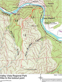
| Map (.pdf file) |
 |
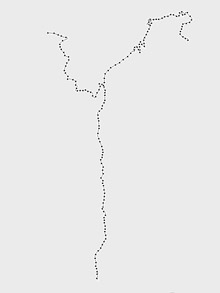
GPS track (.gpx format) |
 |