The Hike: This hike is for those who don't want to work too hard going uphill, but still want the vistas that the Blue Ridge trail from Cache Creek gives you. The hike starts at the parking area and climbs about 200' up to the ridge. Once at the ridge, follow the ridgeline north until you get to fiske peak. Once on the ridge it is rolling and pretty easy. Distance: 1.4 miles from the parking area off of Fiske Creek Road to Lowrey peak (one way). Total elevation gain of 400 feet to Lowery peak. 4 miles to Fiske peak from the parking area off of Fiske Creek Road. |
How to get there: NOTE: As of March, 2009, the low-water bridge over Cache Creek on Road 40 (Rayhouse Road) in Yolo County is closed to vehicle traffic due to the piers being undermined. To get to this trailhead you will need to hike, bike, or horseback ride in. I do not know if the access from the Napa/Lake County side is passable. From Yolo county, Woodland and Davis, take Highway 16 up the Capay valley. Once you pass the town of Rumsey, you begin to enter the Cache Creek Canyon. The road will narrow and you will be driving with the creek on one side and the canyon walls on the other. When you see the Cache Creek regional park sign on your left, turn into the parking area. This is the lower park site of three that Yolo county runs as park of Cache Creek Regional park. You can park in the parking area, or at a number of pullouts on Rayhouse road, before the gate. If you want to drive up Rayhouse road, you have to make sure it is open and that you have 4 wheel drive. Drive up Rayhouse road until you reach the top of a saddle, and you see a BLM road sign at a 4-way intersection. Go East (left), and eventually you will get to a parking area at the headwaters of Fiske Creek, at the base of Blue Ridge. There is a gravel parking area, and this is where the trail starts. |
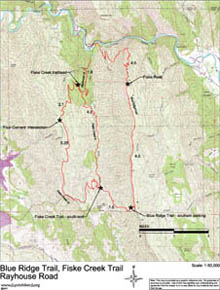
| Map (.pdf file) |
 |
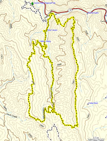
| GPS track (.gpx format) |
 |
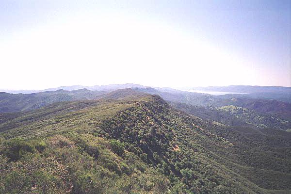
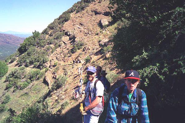
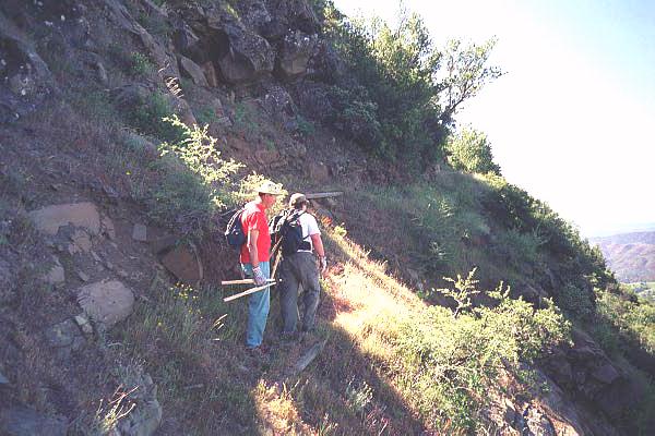
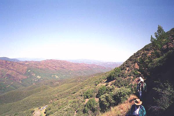
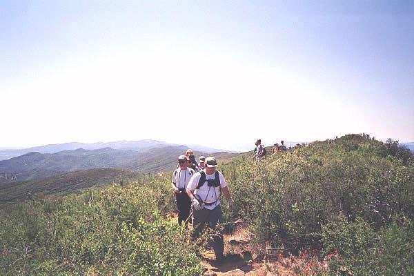
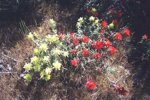
| Photos | |||
 |
 |
||
 |
 |
||
 |
 |
||