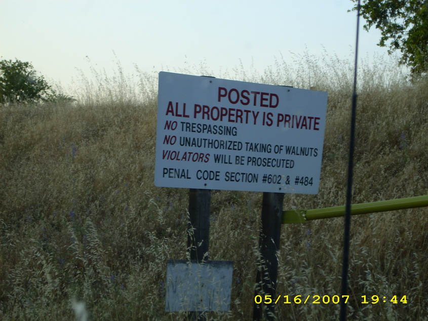
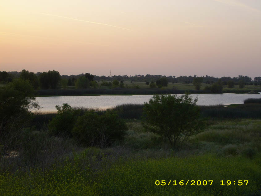
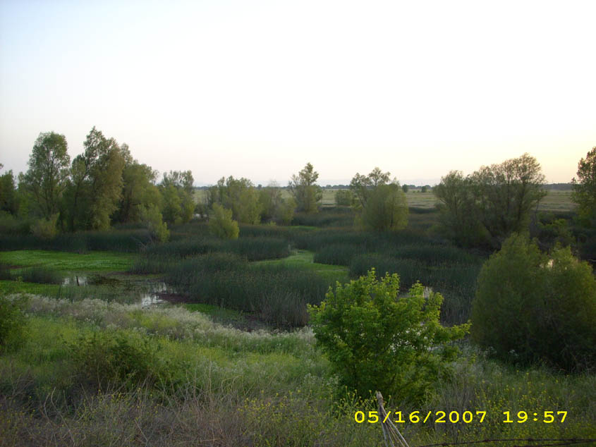
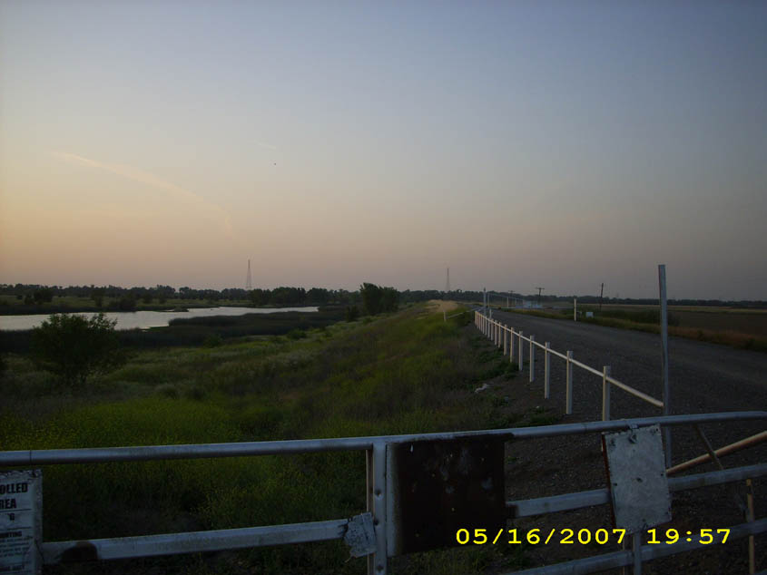
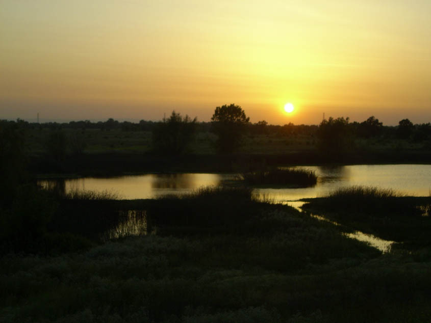
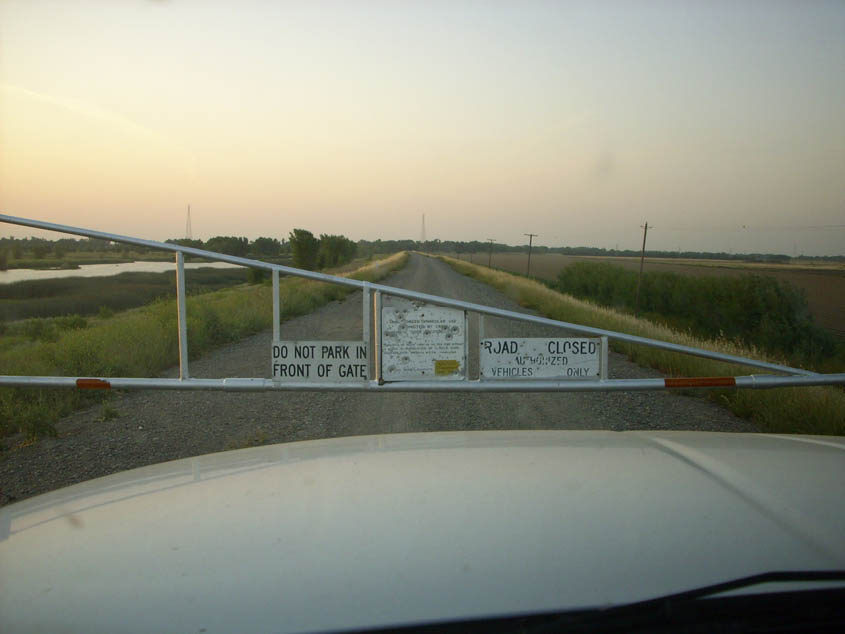
Background: The Department of Water Resources (DWR) owns about 1000 acres in the Yolo Basin. The Department of Fish and Game (DFG) manages a portion of the property as the Fremont Weir State Wildlife Area. This area is open to the public for hiking, hunting, horseback riding, and mountain biking. Link to DFG's map of the area. One thing people have found about this area is that surrounding property owners can be very protective of this area, to the point of challenging visitors to leave. Like Road 53, know your rights and be pleasant but firm. You have a right to be on the public roads and public land. Road 107 on the eastern levee is a public road, though it is closed to vehicle use by DWR, it is a public road and can be travelled by the public. The Hike: From the west side, park at Road 116 and hike on the river side of the weir. You can see wonderful riparian forests and the Sacramento River. *NOTE: The West Side Access is currently in dispute and we are working to restore access to the public parking lot. Use the East Side access until this is resolved.* From the east side, park at the top of the levee, and hike north along the levee, until you reach the weir. Then hike west, between the weir and the river, same as the western hike. Distance: There are no developed trails, so the distance can be as much as you like. |
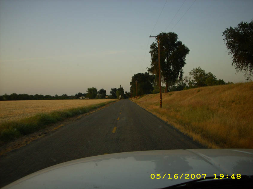
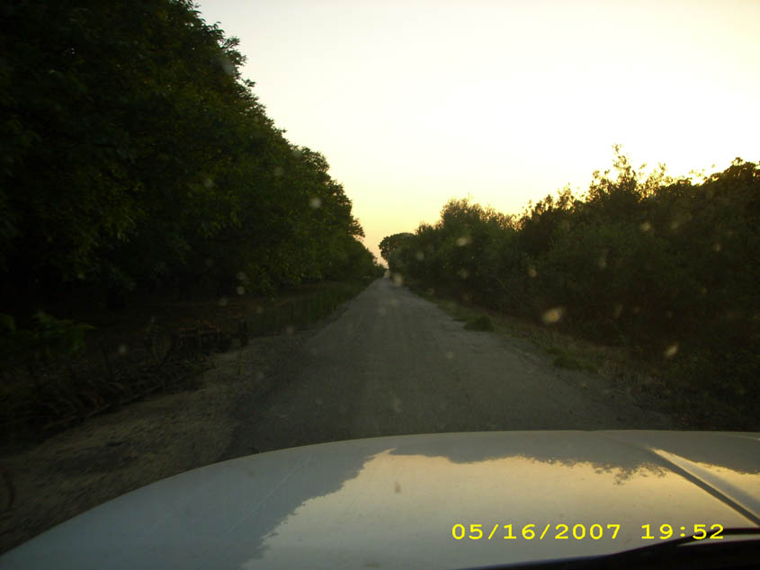
How to get there: West Side Access: *NOTE: This West Access is currently CLOSED due to a land access dispute between a private owner and the State.* Access to the Wildlife Area from the West is on Road 116A. From Woodland and Davis, take Road 102 north of Woodland. Turn east on Road 16 (right), then north (left) on Road 116B, and east (right) on Road 116A. Park at the end of the road. East Side Access: From Woodland And Davis, take I-5 toward Sacramento, and get off immediately after the causeway, before the bridge over the Sacramento River, onto Old River Road. Turn left and go under the highway, then immediately turn right onto Road 117. Continue on 117 until you hit Road 16. Turn left onto Road 16, and drive to the end of the road and up onto the levee. Park on the side of the road on the levee. This access was almost lost in 2007, but Tuleyome and others fought and kept it open. |
| Photos | |||
 |
 |
||
 |
 |
||
 |
 |
||
 |
 |
||
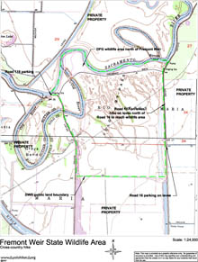
| Map (.pdf file) |
 |
| GPS track (.gpx format) |
| Since there are no trails, this hike is cross-country and no GPS track is available. |