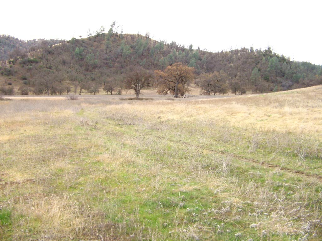
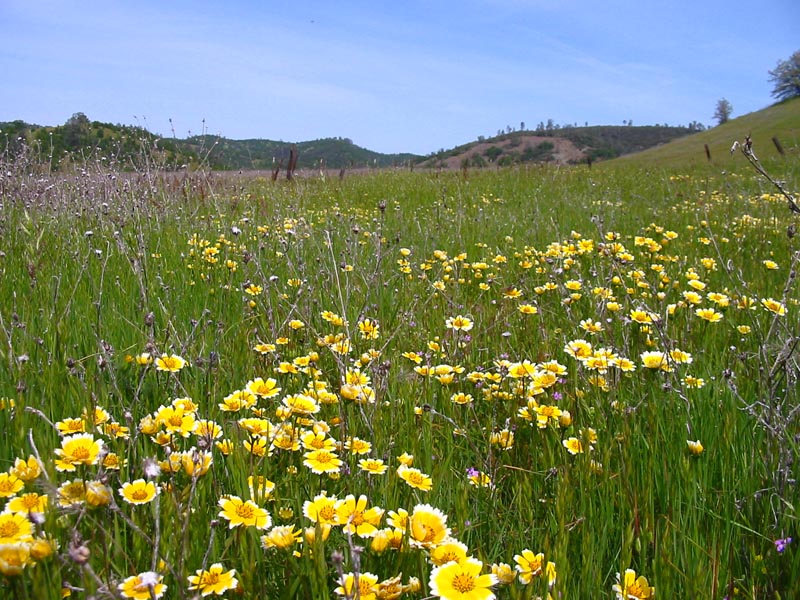
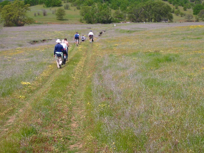
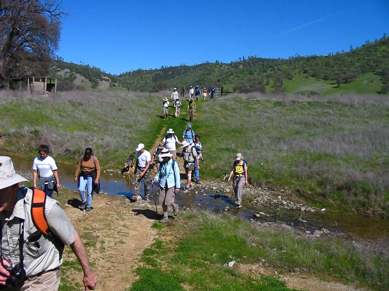
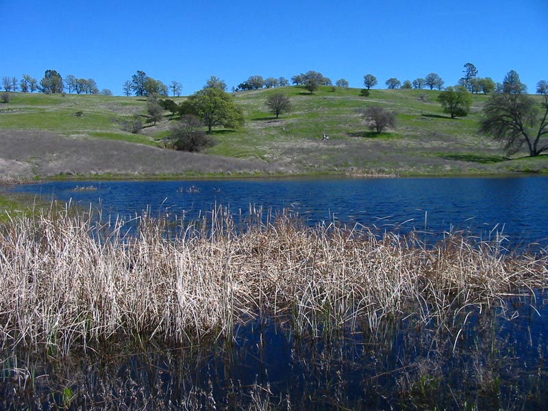
The Hike: Lynch Canyon starts out by going south from the parking area. It will then descend downhill all the way to the valley and the 'Roadkill Cafe'. The Roadkill Cafe is an old hunting shack that featured a humorous 'menu' of roadkill treats. The Lynch Canyon valley is a broad interior valley that features some great wildflower displays in the spring. From there, you can hike up to Cache Creek ridge, or south to a series of ponds. This takes you to the heart of the area so the choice is yours. Distance: As shown on the map, it is 1.7 miles (one way) to the Lynch Canyon valley and the 'Roadkill Cafe'. From there, you can choose which route to take and how long to make the overall hike. |
How to get there: From Yolo county, Woodland and Davis, take Highway 16 through the Capay Valley. Drive up Highway 16 through the Capay valley. Pass the town of Rumsey and continue up the highway. You'll pass Yolo County's three park sites, then cross the county line into Colusa County. Continue on to the intersection of Highway 16 and Highway 20. Head west (turn left) on Highway 20. Continue on Highway 20, heading uphill, past the scenic viewpoint turnout, until the road makes a hairpin turn to the right. The parking area is across the highway at the beginning of the hairpin turn. It is a dangerous crossing, so you may want to head further up the highway until a safer spot, and turn around to go back to the Lynch Canyon parking area. The parking area has no facilities. |
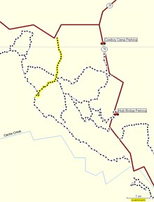
| Map with trail route highlighted (.pdf file) |
 |
GPS track of trail route only (.gpx format) |
 |
| Photos | |||
 |
 |
||
 |
 |
||
 |
 |
||
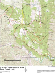
| Map of Cache Creek Natural Area - Bear Creek Unit (.pdf file) |
 |
GPS track (.gpx format) Contains all tracks in the Bear Creek Unit of the Cache Creek Natural Area. |
 |