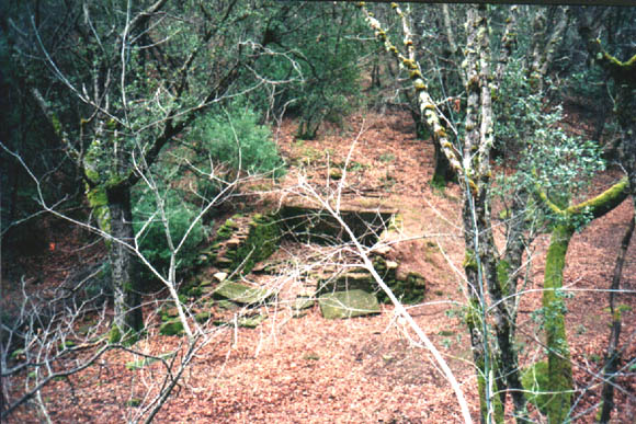
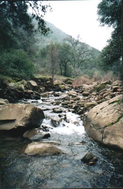
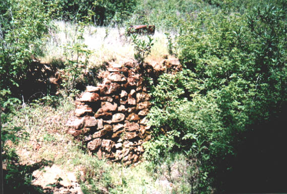
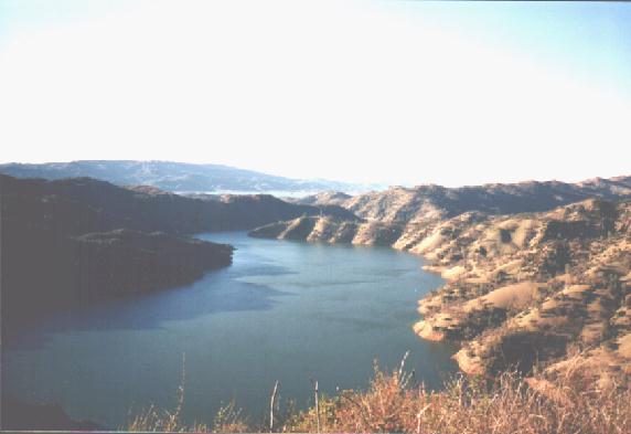
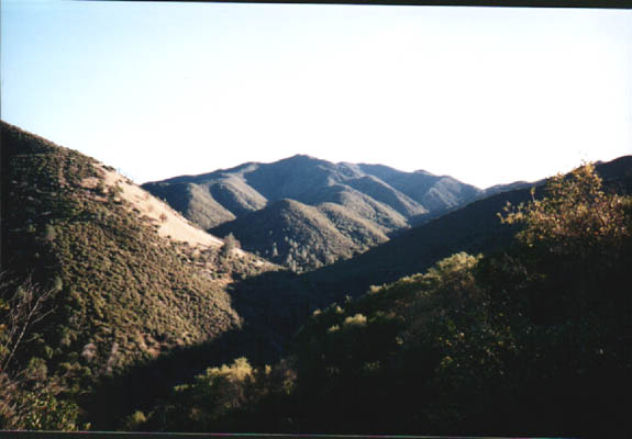
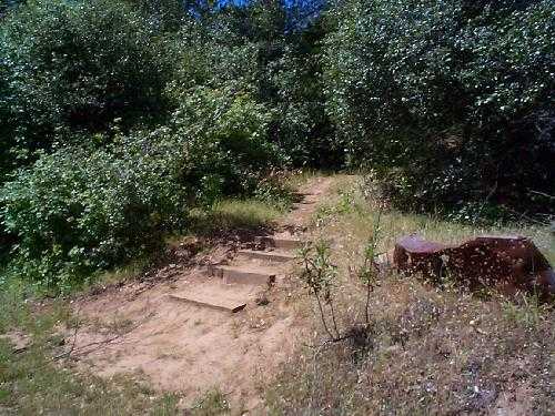
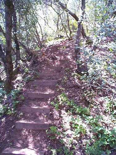
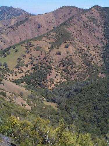
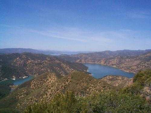
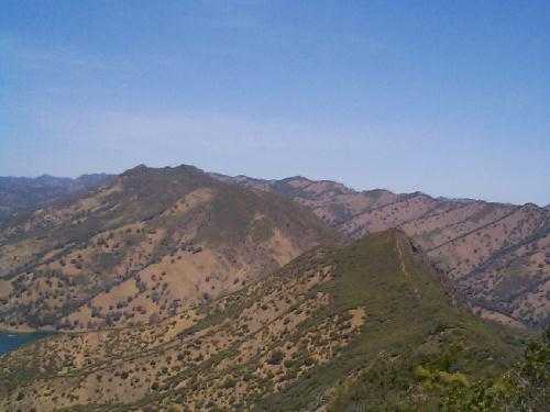
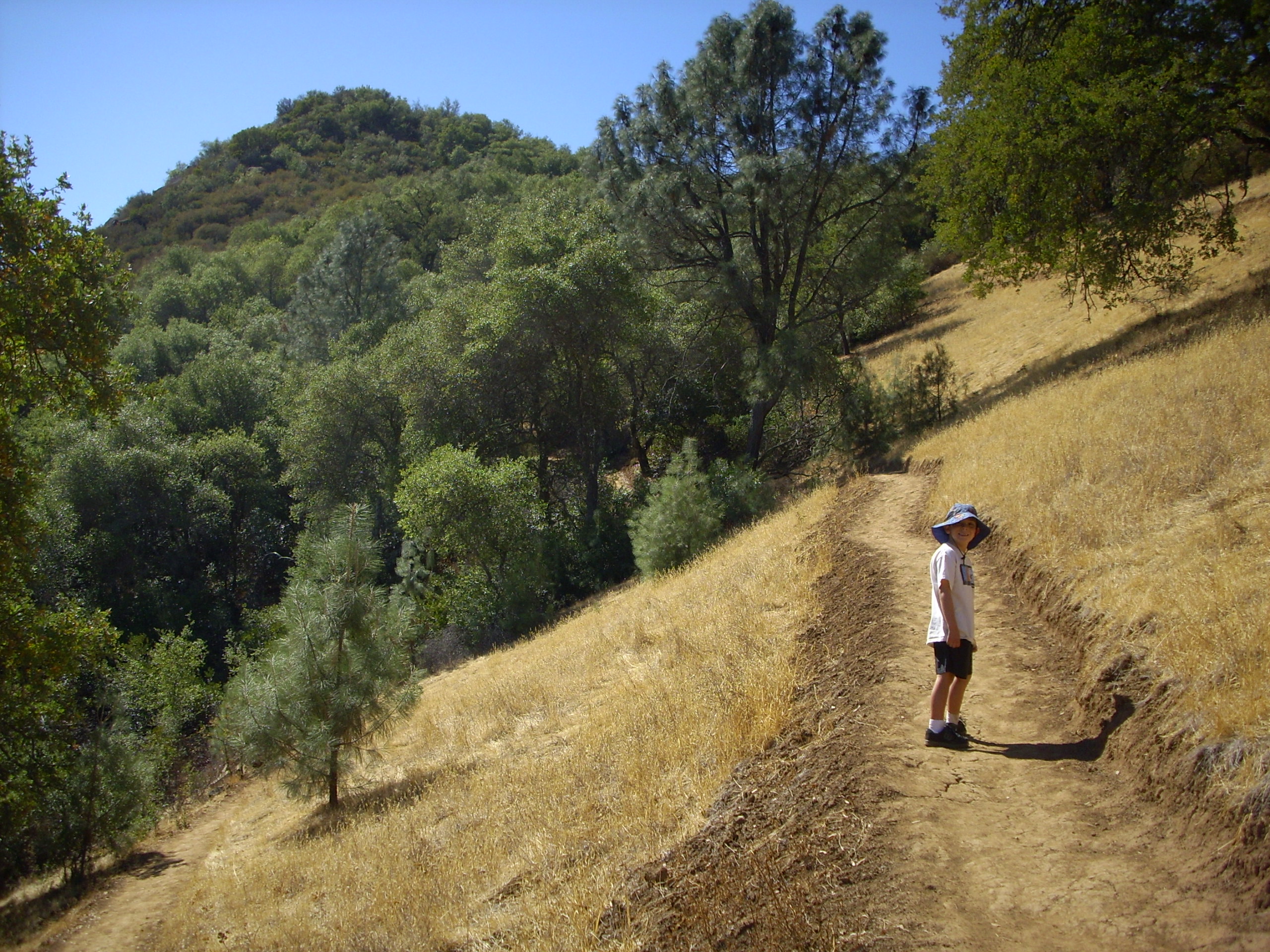
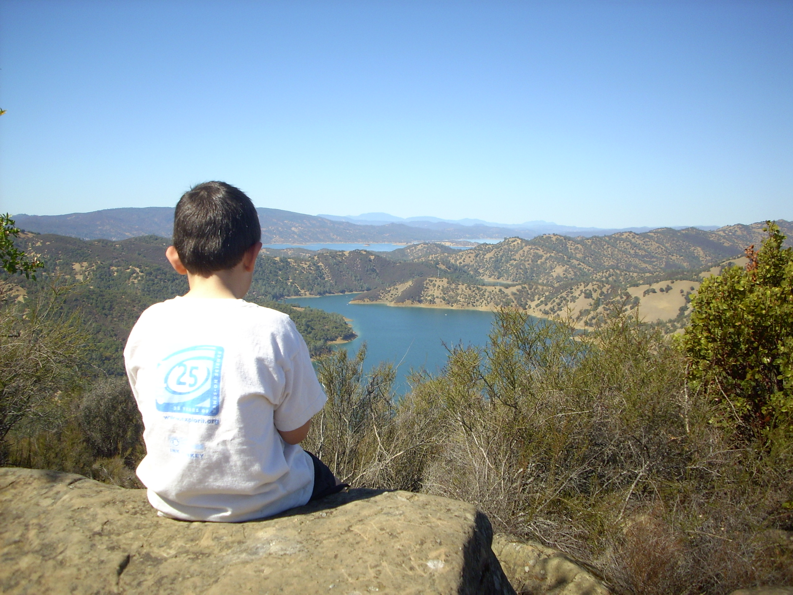
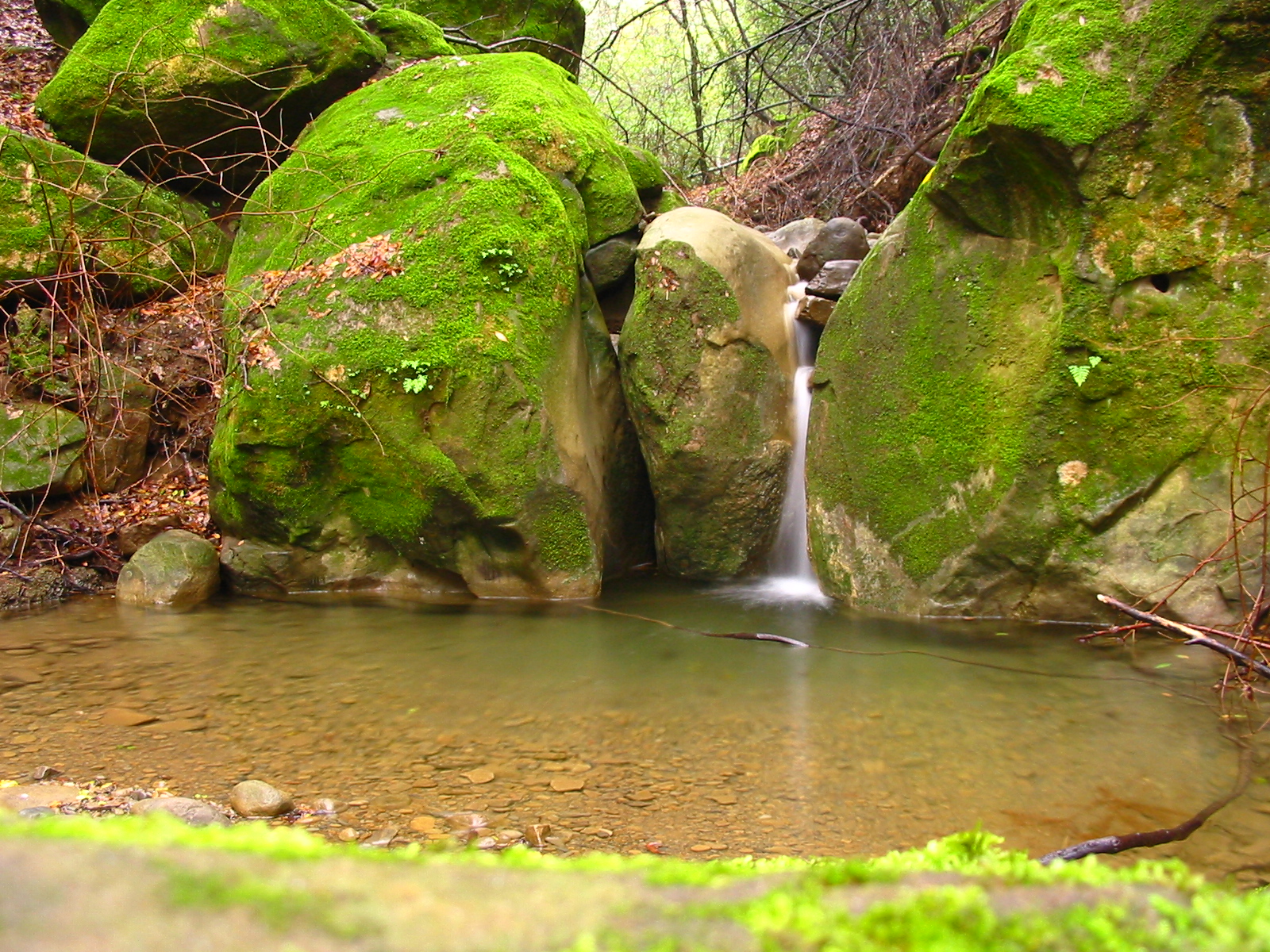
Hikes 2 and 3 are on BLM land, and Hike 1 is on University land. Hike 2 is a loop! Hike #1, Homestead hike: The primary attraction of this area is the University of California's natural reserve. The hike into the reserve is straight up the canyon, and ends at the old homestead. You start after the silver gate, and follow the trail going straight. This will take you around the bend, and you will see a large field of boulders. There was a huge landslide in the winter of 1995 (or '94, I never can remember). I remember hiking here right after the slide, and the area was completely barren. It has been fun to watch the area regenerate over the past few years, and you can see the early successional plants starting to take hold. Look for Coyote brush, redbud, and yerba santa on the slide area. After you pass through the slide area, you will see the reserve entrance sign and a sign-in box. Be sure to sign in before you take the hike. The hike will take you up the canyon, paralleling the creek the entire way. At several points there will be places to go to the creek, so be sure to take the opportunity. When you reach the old homestead, be sure to follow the trail back to the old cold storage house. If you look in the creek next to the storage house, you may see salamanders. Be sure to look in the Spring/early summer for the little guys. Distance: 1 mile to the old homestead (one way), and a total elevation gain of 520 feet. Hike #2, Blue Ridge loop trail: At the end of winter, 2002, UC Davis completed this loop trail. You start out by doing Hike 1, going up the canyon to the homestead. Then take the spur trail from the homestead, up to Blue Ridge. Continue north along Blue Ridge, until you get to the end of the ridge. The trail will then head back down to the canyon to the trailhead. You can, of course, do this trail in reverse, and head up the west side to begin with. It is much steeper uphill, however. At the north end of blue ridge, as you head back down the canyon, make sure to go out to the rock outcropping to the north. This rock outcropping gives you a great bird's eye view of the Dam, lake, and Creek. When the Spillway is overflowing at the Dam, it looks like there is a great hole in the lake! Go near the end of Winter to see this. Distance: 4- mile loop, with a total elevation gain of 1500 feet. Moderate to very difficult. Hike #3, Pleasants Ridge hike: This hike goes up the east side of the canyon, up a steep slope through blue oak woodland and grassland. It offers great views of Cold canyon as you hike up, and terminates at a rock outcropping on the ridge. The ridge is spectacular, and is a real knife-edge. Great views of the Putah Creek wildlife area and the valley can be seen from here. Distance: 0.5 mile to the top of the ridge, with an elevation gain of 1040 feet. Yes, this is steep! Moderatly difficult. |
How to get there: From Yolo county, Woodland and Davis, take Highway 128 up through Winters toward Lake Berryessa. If you are doing this hike in the morning, be sure to have breakfast at the Putah Creek Cafe. They have a dish called the Putah Scramble, that can't be beat. After you pass through Winters, it doesn't take long before you start to drive into the hills. You will pass Lake Solano on your left, as you go up the canyon. Lake Solano is formed by the diversion dam which shunts water into Solano county. The stretch of water above the lake and below Monticello dam has some world class trout fishing. The water is clear and cold, as it comes from the bottom of Lake Berryessa. After you pass by the five Yolo County fishing access areas, the road will bend to the left near the Resort. Pass by the resort and cross the bridge over Putah Creek, into Solano county. You will see the Dam directly to your right. After crossing over the bridge, continue a short ways up the road. Look for a dirt pullout on your right, just before the road begins to curve. Park in the dirt pullout. You will usually see a couple of cars there during the weekend. Cross the road (be very careful to watch out for cars, since you have to cross around a very tight curve!), and pass through the silver gate. All three hikes start here. Be sure to bring plenty of water and give yourself enough time to complete the hike. If it is hot out, it's best not to do the hike. |
| Photos | |||
 |
 |
||
 |
 |
||
 |
 |
||
 |
 |
||
 |
 |
||
 |
 |
||
 |
 |
||
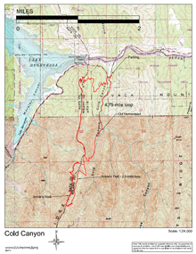
| Map (.pdf file) |
 |
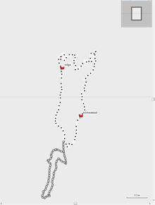
GPS track (.gpx format) |
 |